Share Regional Safety Action Plan on FacebookShare Regional Safety Action Plan on X (formerly Twitter)Share Regional Safety Action Plan on LinkedinEmail Regional Safety Action Plan link
About This Study
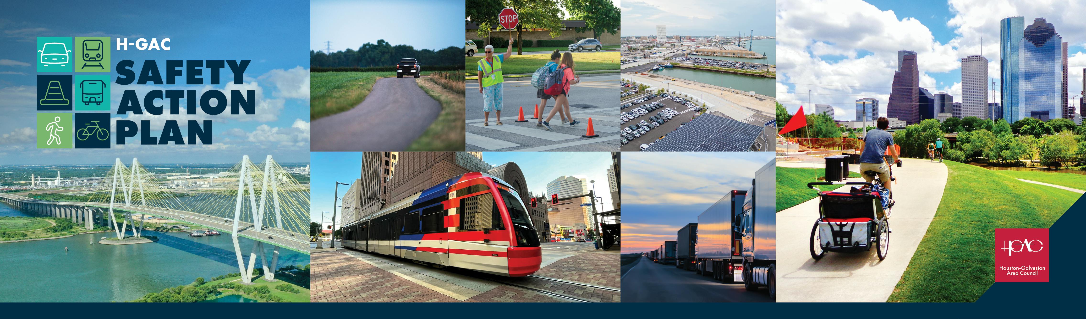
What
H-GAC, is developing the Regional Safety Action Plan (SAP) — a comprehensive road safety plan that identifies projects, programs, and policies to eliminate traffic fatalities and serious injuries.
The Regional SAP is one of 12 plans being developed concurrently as part of the broader H-GAC Safety Action Plan project. Together, these plans form a coordinated regional approach to transportation safety across the Houston-Galveston area.
Why
The Houston–Galveston region accounts for nearly 20% of traffic deaths in Texas. Every day, an average of two people are killed and ten people are seriously injured in traffic crashes across the region. The Regional Safety Action Plan focuses that regional safety challenge locally, identifying where serious crashes occur and developing strategies to improve safety for all roadway users.
Where
The Regional SAP covers roadways within the Houston–Galveston region. The Regional High Injury Network maps below shows the locations of roadways on which a large number of crashes occur.
Map of Regional High Injury Network (2018 - 2024) for Freeways and Non Freeways
Map of Regional High Injury Network (2018 - 2024) Excluding Harris County
Reviewed roadway safety issues and high-crash locations.
STF Meeting #2
Dec 4, 2025
Identified priority locations and systemic strategies.
Online Activity #1
Fall 2025 - Spring 2026
Interactive map and road safety priorities survey.
Public Meeting #1
Feb 12, 2026
Reviewed crash maps, crash types, and High-Injury Network.
STF Meeting #3
May 4, 2026
Reviewed preliminary recommendations.
Ongoing
Online Activity #2
Summer - Fall 2026
Ranking activities for proposed projects and countermeasures.
Upcoming
Public Meeting #2
Aug 5, 2026
Ranking activities for proposed projects and countermeasures.
STF Meeting #4
Fall 2026
Review final recommendations prior to plan finalization.
Final Plan Adoption
Nov 2026
Finalize and adopt the Safety Action Plan.
About This Study
What
H-GAC, is developing the Regional Safety Action Plan (SAP) — a comprehensive road safety plan that identifies projects, programs, and policies to eliminate traffic fatalities and serious injuries.
The Regional SAP is one of 12 plans being developed concurrently as part of the broader H-GAC Safety Action Plan project. Together, these plans form a coordinated regional approach to transportation safety across the Houston-Galveston area.
Why
The Houston–Galveston region accounts for nearly 20% of traffic deaths in Texas. Every day, an average of two people are killed and ten people are seriously injured in traffic crashes across the region. The Regional Safety Action Plan focuses that regional safety challenge locally, identifying where serious crashes occur and developing strategies to improve safety for all roadway users.
Where
The Regional SAP covers roadways within the Houston–Galveston region. The Regional High Injury Network maps below shows the locations of roadways on which a large number of crashes occur.
Map of Regional High Injury Network (2018 - 2024) for Freeways and Non Freeways
Map of Regional High Injury Network (2018 - 2024) Excluding Harris County

 Map of Regional High Injury Network (2018 - 2024) for Freeways and Non Freeways
 Map of Regional High Injury Network (2018 - 2024) Excluding Harris County