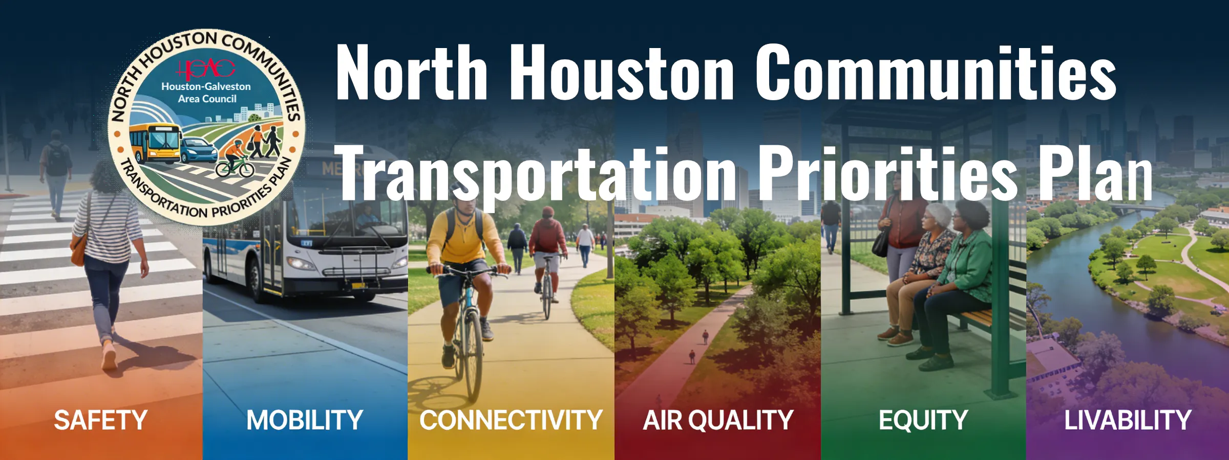
North Houston Communities Transportation Priorities Plan
Share North Houston Communities Transportation Priorities Plan on FacebookShare North Houston Communities Transportation Priorities Plan on X (formerly Twitter)Share North Houston Communities Transportation Priorities Plan on LinkedinEmail North Houston Communities Transportation Priorities Plan link
The North Houston Communities Transportation Priorities Plan (NHCTPP) will identify and prioritize transportation needs to support community planning adjacent to IH 45, north of IH 10, and south of Berry Road.
Through a robust and comprehensive community-based public engagement process, the NHCTPP, or the “Plan”, will work with the community and relevant agencies to identify transportation needs and priorities, including active transportation and transit infrastructure investment in these communities.
The Plan will guide community development and recommend solutions that advance community goals, improve multimodal options, enhance connectivity, increase safety and traffic flow, reduce congestion, and improve air quality, all while maintaining the area’s aesthetics and improving the quality of life in the study area.
The NHCTPP will build upon previous planning and current studies, plans, and initiatives led by relevant agencies and community organizations. The Plan will provide recommendations that improve connectivity, add mode choice capacity, and positively impact air quality and congestion.
Study Area
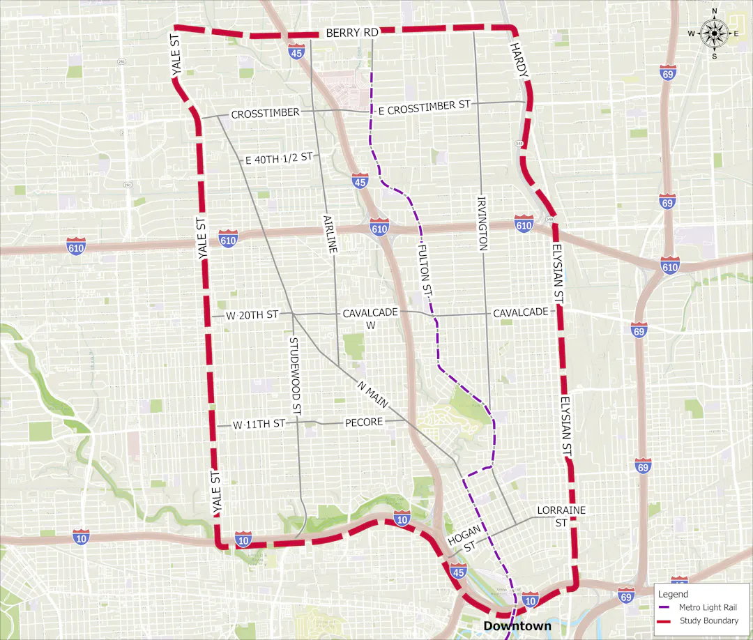
The NHCTPP study area is located in central Harris County along IH-45. The western boundary is Yale Street, the eastern boundary is Elysian Street/Hardy Toll Road, the northern border is Berry Road, and the southern border is IH-10.
Study Purpose
The vision of the project is to develop a multimodal infrastructure implementation plan that addresses the community's needs. Goals of the project include improvement in areas of safety, mobility, connectivity, air quality, equity, and livability.
The North Houston Communities Transportation Priorities Plan (NHCTPP) will identify and prioritize transportation needs to support community planning adjacent to IH 45, north of IH 10, and south of Berry Road.
Through a robust and comprehensive community-based public engagement process, the NHCTPP, or the “Plan”, will work with the community and relevant agencies to identify transportation needs and priorities, including active transportation and transit infrastructure investment in these communities.
The Plan will guide community development and recommend solutions that advance community goals, improve multimodal options, enhance connectivity, increase safety and traffic flow, reduce congestion, and improve air quality, all while maintaining the area’s aesthetics and improving the quality of life in the study area.
The NHCTPP will build upon previous planning and current studies, plans, and initiatives led by relevant agencies and community organizations. The Plan will provide recommendations that improve connectivity, add mode choice capacity, and positively impact air quality and congestion.
Study Area
The NHCTPP study area is located in central Harris County along IH-45. The western boundary is Yale Street, the eastern boundary is Elysian Street/Hardy Toll Road, the northern border is Berry Road, and the southern border is IH-10.
Study Purpose
The vision of the project is to develop a multimodal infrastructure implementation plan that addresses the community's needs. Goals of the project include improvement in areas of safety, mobility, connectivity, air quality, equity, and livability.